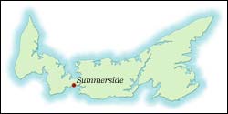
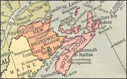
Where in the world is Prince Edward Island? We display for your interest a 1940 world map.
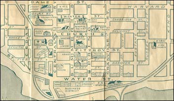
Summerside was the commercial centre for the surrounding agricultural area. The 1941 census indicated that 5,034 people were living in the second largest community on the Island. Throughout the website, you will note many references to the "Island" or to "Islanders". The town and the Island was a vibrant place to live, as indicated in the attached article written by a newspaperman in 1940. For a sense of the layout of the town, you may view the circa 1945 map.
| Related Articles | Related Images | Related Memories | Related Websites | Inflation Calculator |
| Home Page | Site Map | Contact Us | Wyatt Heritage Properties |


